


Survey-grade scans·Photoreal scenes·Sealed evidence
Your buildings, remembered.
Your building lives in scattered folders, out-of-date PDFs and a tour that expired with its subscription. One building, one living record.
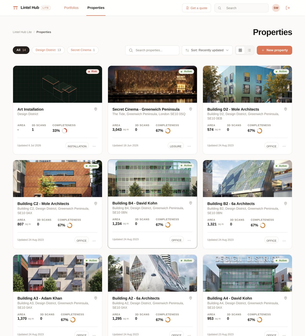
Current floor plans and one shared record for every building, with pre-let and hand-back conditions captured as tenants move.
Plans, certificates and reports stored with the building. Share view-only links with contractors and measure from the scan instead of revisiting site.
Survey-grade point clouds and accurate GA drawings as the first step of the project, architect-led and Revit-ready as an add-on.
Photoreal scenes sharper than stitched panoramas, with no per-space fees, no dead links, and photography from the same visit.
A fully managed service: we handle the capture end to end, and your whole building becomes a record you can open, measure and share from anywhere. No tripods, no installations, minimal disruption to occupiers.
Get an instant price online and pick a date, evenings and weekends included.
Survey-grade handheld LiDAR, walked through your building by our team.
A registered point cloud, accurate 2D floor plans and a photoreal 3D scene, in your own Lintel Hub, in days.
Everything we capture lives in Lintel Hub: viewable in any browser, shareable with anyone, and always yours.
A published rate card and an instant quote, with no quote-only games and no per-space fee stacks.
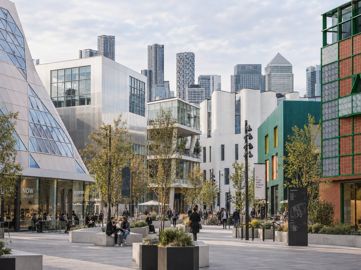
See pricingUnder a framework agreement with Knight Dragon, Lintel is digitising the Design District, London's purpose-built creative campus, capturing each building in survey-grade detail and delivering floor plans, point clouds and photoreal scenes to one hub.