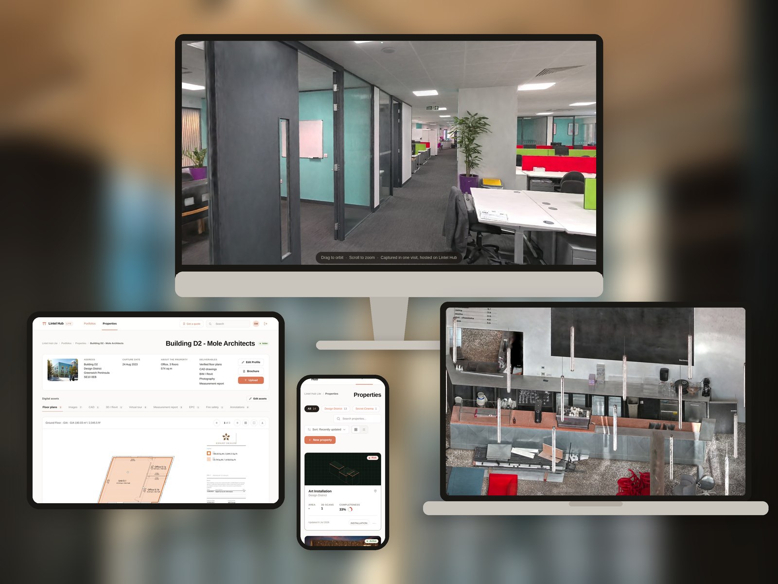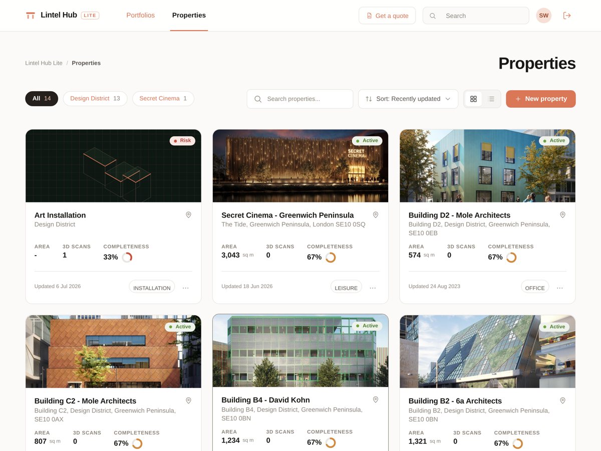
One capture, one living record, working for every team around the building: owners, facilities, architects and agents.

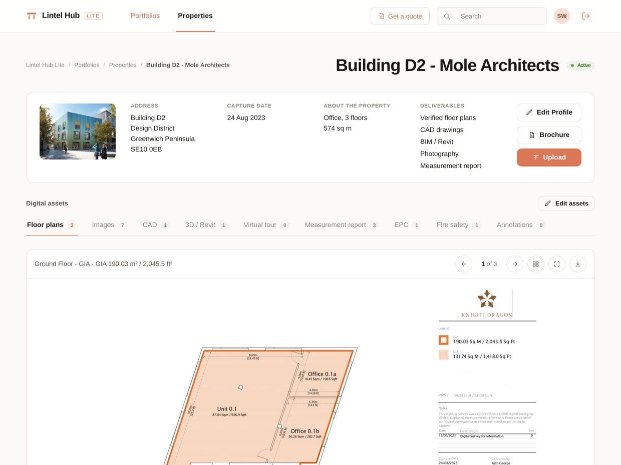
Current, accurate floor plans for every building, and one shared record the whole team can see. Lettings, works and valuations all start from the same truth. The record keeps up as the building changes, no more folders of stale PDFs.
The scan, the plans and the documents that belong to the building (certificates, reports, drawings) organised in one hub. The record lives where the building does, and you can walk it from a desk when you cannot be on site.


Survey-grade point clouds and accurate GA drawings as the starting point for feasibility and design. Design work starts the day the scan lands. Fewer assumptions, fewer surprises on site.
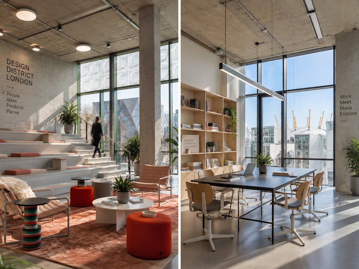
Photoreal 3D scenes that are sharper than stitched panoramas, on a link that never expires, showing the building at any hour to anyone deciding whether to view.